Significant numbers of Germans have been migrating to
Australia since the 1830s. In 1838 some “Old Lutherans” landed in Adelaide
seeking the right to worship the way that they believed in. The same year, the pioneer
Presbyterian minister, John Dunmore Lang, brought a party of German missionaries
from Berlin to Brisbane. As well, on 23 April 1838, the barque Kinnear
arrived at Sydney carrying six German families, the first German vinedressers
in Australia. They were from the Rheingau area of Hesse.
At the end of World Wars 1 and 2, large areas that had been
under German control were lost to its neighbours. In the east, these became
part of Poland, Russia and Lithuania. After World War 2 in particular, millions
of people who were considered to be Germans were expelled from these areas.
One of the problems in researching family history from these
areas involves name changes. Throughout this region some people considered
themselves German while others considered themselves Polish. Naturally many
places had both a German and a Polish name. For some, the German and Polish names
were pronounced similarly but spelled differently. The town of Stuhm (German)
or Sztum (Polish) is a case in point – some knowledge of German and Polish
pronunciation helps here. For some, the names might be translations of each
other. The village of Schönwiese (German) or Krasna Łąka (Polish) – describing
a meadow – is an example. In others, the names were quite different – for example
the city of Breslau (German) in Silesia is now Wrocław (Polish), and the former
capital city of East Prussia, Königsberg (German), is now Kaliningrad
(Russian). A further complication is that some of the places where the German
name was too “Polish” were changed in the Nazi era. For example, Pachutken
(German) or Pachutki (Polish) was changed to Tönigesdorf in the 1930s.
Most likely, for those of our ancestors who were born before
the disruption of the World Wars, the names of the places of birth that were
recorded would be the German names rather than the Polish names. This is a
problem because the names to be found in today’s atlases and road maps are the
Polish (or Russian or Lithuanian) ones.
Given such a problem, is it possible to research any family
history from this area? As with all German research, it is necessary to
identify the civil registry office (the Standesamt)
that was responsible for registering births, marriages and deaths, and/or the
church parish that was responsible for recording baptisms, marriages and
burials. A number of websites are available to assist in this process:
·
Meyers
Orts- und Verkehrs- lexicon … was a two-volume publication from the first
decade of the 20th century, listing almost every locality in the
German Empire of the day. An easy way to use this invaluable resource is by the
Meyersgaz website (see www.meyersgaz.com) which
shows the relevant entry and provides an explanation in English of the
significant abbreviations. The Standesamt
at the time of publication is listed, and sometimes the Catholic or Protestant
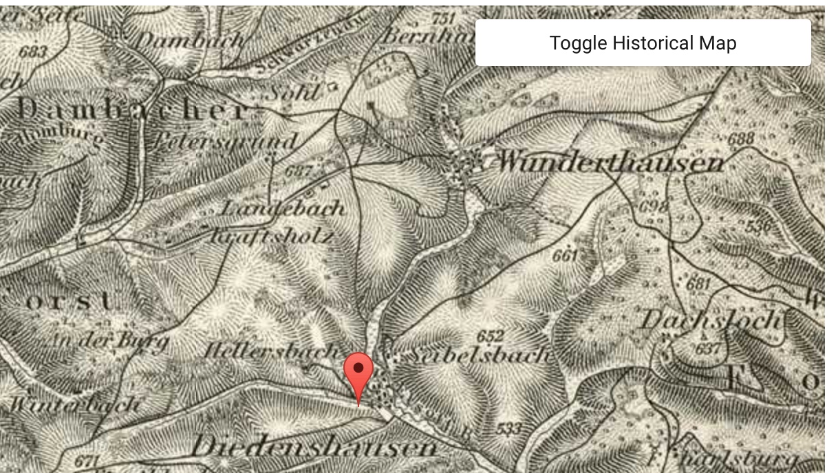
parish and Synagogue. As well, it is usually possible to view an historic map
and overlay this on a modern map.
·
Kartenmeister
(see
www.kartenmeister.com) is a
website set up by Uwe Krickhain which lists almost every location within the
former German eastern territories, together with details of the Standesamt and the Catholic and
Protestant parishes and Synagogue.
·
Ehemalige
Ortsgebiete (Former Eastern Territories – see http://ehemalige-ostgebiete.de)
is a website giving the names by which different towns and villages were known
at key times over the past 100 or so years.
Putting this to use
A friend was interested in finding out about his mother’s
birthplace. He had been told it was Escherlin in what is now northern Poland
but had been in Pommern (Pomerania) and that the town had undergone a number of
name changes. Furthermore the church records had been destroyed.
Unfortunately the Meyersgaz website had no entry for
Escherlin and neither did the Kartenmeister site, but the Ehemalige Ortsgebiete
site noted that it was known as Gryzlin in the district of Löbau before World
War 1.

The Meyersgaz site then showed that Gryzlin was a Rittergut (an estate) and that further details were available under
Grischlin, Gryzlin being the former name. Grischlin was in the Kreis (county or shire) of Löbau in the Regierunsbezirk (government district) of
Marienwerder Provinz Westpreussen (West Prussia); its Standesamt (civil registry office) was 4.7
km away at Jamielnik, it had a population of 279 and was the seat of a
Protestant parish.


Between the World Wars, Grischlin lay in the Polish Corridor, which gave Poland access to the Baltic Sea, and was named Gryźliny under Polish control. The Ehemalige Ortsgebiete site showed that in 1939 under German control, Grischlin was named Escherlin and after World War 2, once again under Polish administration, Gryźliny.
So my friend was correct, Escherlin had been renamed
many times, although for at least some time it had been in the Prussian province of West Prussia not Pomerania.